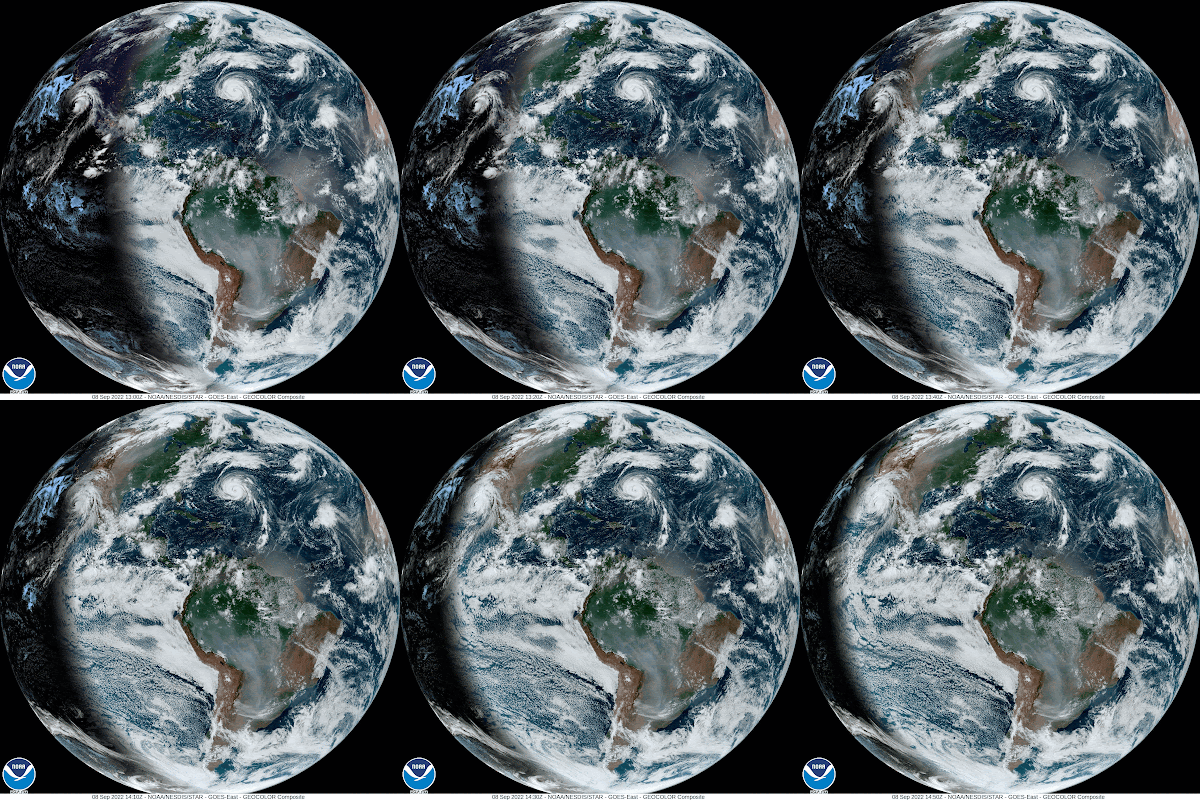
The U.S is in between two hurricanes. One may cause choppy seas to the U.S., while the other could drop heavy rain across parts of California.
This is the Thursday morning world Satellite loop. South America is to the bottom of the page and the U.S above. There are two cloud swirls on either side of the country. On the east is soon to be very powerful hurricane Earl, the other is hurricane Kay, near Baja California .
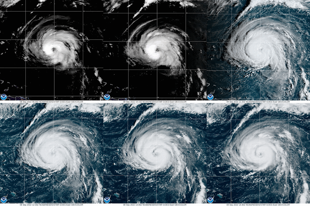
Hurricane Earl
Satellite imagery over the storm shows the center of circulation with nice rain bands. It's moving over warm waters and is forecast to become a major hurricane later today. Fortunately it should remain over open waters bypassing Bermuda. BUT they are not totally out of the woods. If the system makes any little jog west, they may get more of its fury. For the moment, Bermuda is under a Hurricane Watch. Some gusty winds are possible today.
The East Coast of the U.S may see some indirect impacts: This is from NHC.
Surf: Swell generated by Earl are building near Bermuda and are expected to reach the U.S East Coast later today/tonight.
These swell are likely to cause life-threatening surf and rip current conditions thru the weekend.
South Florida will not see impacts from the system.
Hurricane Kay
The Satellite imagery reveals a rather large Cat 1 hurricane with heavy rain and tropical storm force winds impacting Baja California. The system will hug the coast for the next several days.
U.S. Impacts
Southern California: 2-4 inches of rain with 6" in spots Large Swells will impact the California Coast causing rip currents Southwest Arizona: 1-2 inches with 3 inches maximumThese totals may lead to flash floods and mudslides


No comments:
Post a Comment