Saturday, September 25, 2021

Strong Sam

Hurricane Sam is on the cusp of becoming a Major Hurricane, category 3, Saturday morning. It is an impressive small, compact, yet powerful system roaming unimpeded in the Atlantic Ocean.


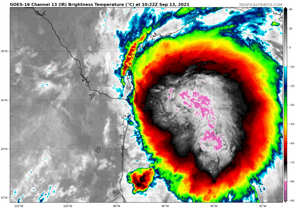
The satellite imagery from early Saturday clearly shows the "eye" or center of the storm. The eye wall which surrounds it, is where you find the business end of Sam. This ring of destruction, is what we will be watching closely as it moves West-northwest in the days ahead.  

The wind field is modest for the moment. Hurricane force winds over 75 mph, extending out from the center a mere 15 miles with tropical storm force winds of over 40 mph, out to 60 miles.

Sam is traveling slowly over very warm waters and will soak up all this heat energy and achieve Cat 4 status by Sunday. As it nears the Islands, a bit of Shear (strong upper level winds) should pause its growth cycle and slightly weaken it back to a category three.

Recon Missions are tasked for Sunday. Starting with NOAA high altitude recon followed by USAF Hurricane Hunters. This data will help get a better understanding of Sam's structure and atmospheric surroundings.

Where is it Headed?

A big dome of High Pressure in the Atlantic is the main driver in pushing Sam to the West. In about 4 - 5 days, the high begins to move East permitting Sam to start a northward jog. This should allow it to turn away from the Islands. At the same time, a front moves off the Eastern Seaboard, keeping Sam away from the Bahamas, Turks & Caicos, & Florida.

As it leaves the vicinity of the Leeward Islands, it will start to pick up some forward speed. Down the road, the Northeast and Canadian Maritimes may have to deal with Sam. 

Models


Models are in fair agreement the center of Sam should pass NNE of the Leeward Islands, Virgin Islands, & Puerto Rico.


The NAVY model illustrates extremely well what should happen in the days ahead. The tight swirl in the middle of the map is Hurricane Sam. The orange surrounding it is High Pressure. The High will develop a weakness or a gap as it slides East, to which Sam will travel through.  The path in the Atmosphere may take it close to New England, but it is too early to tell.

If all the forecast projections pan out, Sam should be a worry for Marine Interests. Lets keep our fingers crossed.

We'll be watching


Friday, September 24, 2021

Hurricane Sam

The National Hurricane Center (NHC) is tracking what will soon become Major Hurricane Sam. It is now the 7th hurricane this season. In this edition we will cover:

  • Health of the System 
  • Cone of Concern
  • Forecast Models 

Health

Satellite view 


Hurricane Sam, is starting to show the classic Buzz-Saw look. It is small in scale yet it has a well defined center with feeder banding that wraps all around it. These feeder bands (cloud tails spinning into the center) soak up heat energy from the ocean and transport it to the core. This fuels the tropical engine. For the moment, there is some space between the bands and that is keeping Sam in check. For the moment.  The wind field remains small stretching out only about 15 miles from center.

Cone of Concern


High pressure in the Atlantic Ocean is the main driver in propelling Sam to the West. The high is forecast to weaken and open a pathway for the system to take. The question, as always, is when and where will this weakness take place. The official cone from NHC has Sam starting to curve northward Wednesday.

Models


The GFS (Global Forecast System), also known as the American Model, has Sam (L in the middle of the screen. The L to the right is a wave coming off Africa), finding a weakness in the Bermuda High (shown in the orange color). This allows the hurricane to miss the islands and track into the middle of the Atlantic. Hopefully it will miss Bermuda as well.


The ECMWF  (European Centre for Medium-Range Weather Forecasts), places Sam in just about same spot as the GFS. These are only two of the dozens and dozens of computer models that forecast tracks. Most are in the same ball park.

At the moment, Sam will be feasting on plenty of hot water. It will not encounter any atmospheric roadblocks to weaken it.  Intensity forecasting is one of the most difficult things to achieve. The Leeward Islands should watch closely. It could get too close for comfort with wind speeds around 125 mph. I would suggest they prepare accordingly.

It appears Florida will stay in the clear, but keep an eye out just in case Mother Nature throws a curve ball. In the long run the Eastern Seaboard should watch carefully. 

We'll be watching as well. 


Monday, September 13, 2021

Tropical Trio

The week begins with the National Hurricane Center (NHC), tracking and following three areas throughout the Atlantic Basin. A Tropical Storm in the Gulf, a system-to-be East of Florida, and a concerning wave in the Eastern Atlantic.


We begin with Nicholas

Courtesy Tropical Tidbits

A curious thing happened with Tropical Storm Nicholas overnight, the center (used to track its place and movement) reformed farther north than earlier on Sunday.

Courtesy Josh Morgerman

Reviewing its recent track, you can see where the center was, and where it can be found presently. It made a huge leap. This means  less prep time for folks along the coast of Texas.

Landfall Site?


The system may be too close to shore fur further intensification, but rain will be a concern.

Impact Data from NHC

Heavy rainfall will impact portions of the Texas and Louisiana 
coasts through the middle of the week. Significant rainfall amounts 
are possible, potentially resulting in areas of considerable flash 
and urban flooding, especially in highly urbanized metropolitan 
areas. Isolated minor to moderate river flooding is also expected. 

2. There is the danger of life-threatening storm surge inundation
along the coast of Texas from Port Aransas to San Luis Pass.
Residents in these areas should follow any advice given by
local officials.

3. Nicholas is forecast to approach the middle Texas coast as a
strong tropical storm today, and could be near hurricane
intensity at landfall.  Tropical storm conditions are expected 
along portions of the middle Texas coast beginning by this 
afternoon, with hurricane conditions possible from Port Aransas to 
Freeport this afternoon and tonight.

4. Tropical storm conditions are expected along portions of the
northeastern coast of Mexico and the coast of south Texas beginning 
during the next few hours.

Area East of Florida


This is a great NOAA satellite image of night turning into day across the Western Atlantic. The area of clouds to the East of Florida now has a 50% chance for organization somewhere in the area highlighted over a period of 5 days (See map at top of blog). If it develops it should move on a north/northwesterly track. 

New Wave by West Africa


This is Invest95L. You can barely make out the West Coast of Africa. That mass of clouds and rain has just moved offshore. It could develop anywhere in red shaded area. (See above Map)

Where may it go?


Early model runs show a W/NW track. Many things are in play here. A slow moving system would make it stronger while a faster one should keep it weaker. Models at the moment are still getting their footings with this new disturbance. Anything developing in the sector should be watched and monitored. It has an 80% chance for organization and may develop into a depression/storm sometime later this week.


We'll be watching


Subtropical Storm Nicole

We begin the work week with the prospect of a tropical system impacting the East Coast of Florida this week. This is Subtropical Storm Nicol...